Anthroprocene

THE LOOP TRAIL  

Reimagining Toronto’s ravine strategy to connect communities and our urban ecology across a mosaic of ravinescapes.

TORONTO, CANADA

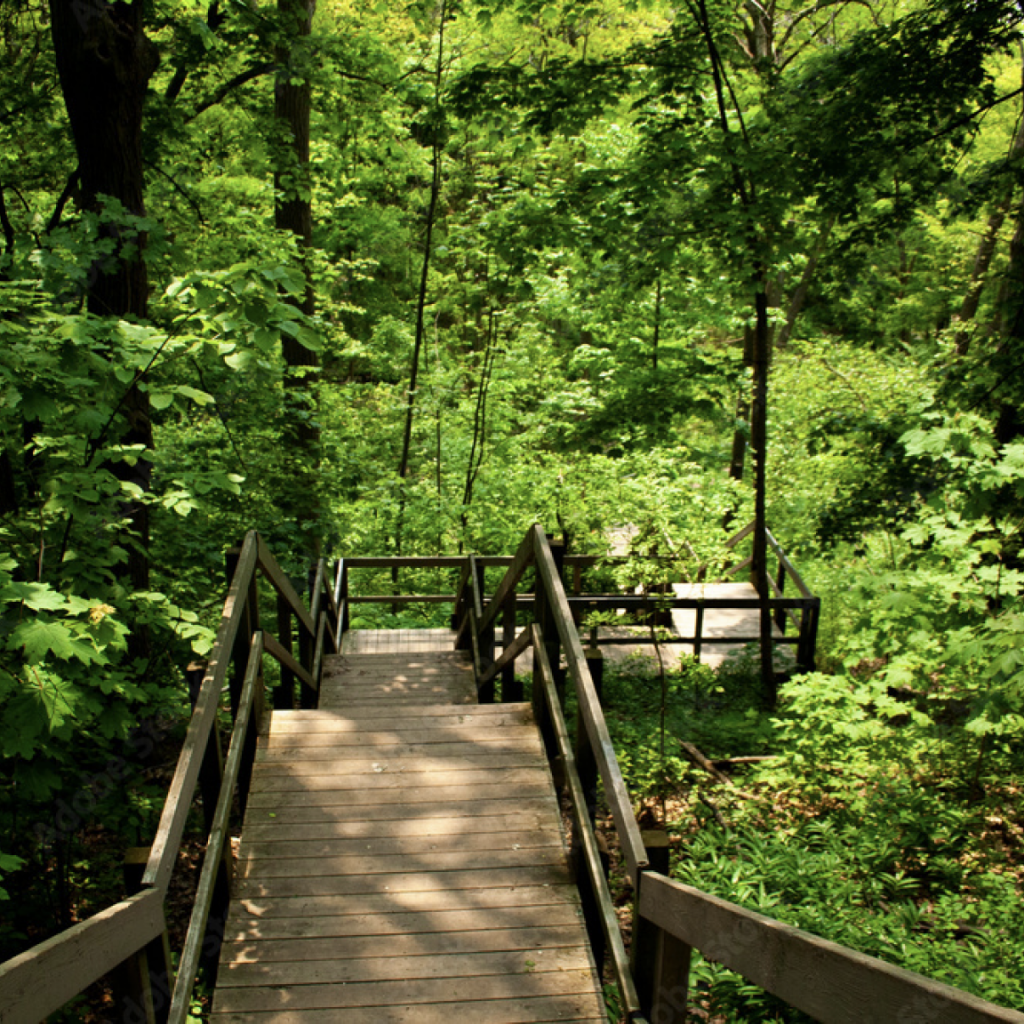
How can we restore the ecology of the ravines while uniting neighborhoods in every part of the city with Toronto’s largest multi-use trail network?

Spanning more than 11,000 hectares, the ravines are considered Toronto’s most defining and beloved natural feature. They form a primary connection to the urban wilderness and link river valleys with parks, neighbourhoods, and the urban landscape. Our ravines are the lungs of the city.

For centuries, the ravines have been home to many nations, including the Mississaugas of the Credit River, the Anishnabeg, the Chippewa, the Haudenosaunee, the Wendat and Petun peoples. Today, they are home to many diverse peoples, including First Nations, Inuit and Métis peoples.

4200

While ravines represent 17% of the city’s land area and branch into nearly every city neighborhood, they’re mostly hidden from plain sight. Yet Toronto’s ravines play a vital role in city life. They offer active transportation routes and outdoor respites, supporting residents’ physical and mental well-being.

To enhance our city’s greatest ecological asset for future generations, our ravines command a new way forward. The Ravine Loop Trail — a project in collaboration with Evergreen, City of Toronto, the Toronto Region Conservation Authority, and other partners — can be part of that vision. Together, the partners aim to create a continuous 65km multi-use trail through the vast Ravine system. The project will connect a diverse group of neighbourhoods as well as linking the city’s core to Rouge Urban National Park, creating a vast trail network largely immersed in nature. The Loop Trail promises to harness the potential of Toronto’s unique ravine system and create a greener, more liveable city for all.

cOMING SOON

The Salinas Bahamas